

Iceland-compass. Posted by hulda on Mar 10, 2016 in Icelandic culture, Icelandic customs

Stanley compass by Jaypee at Wikimedia Commons
Compass, what a wonderful, helpful tool… or so you would think until you come to Iceland and realize that the Icelandic idea of what’s in which direction and what it should be called differ somewhat from the rest of the world’s idea of directions. For example, West Iceland. That would be from Westfjords to Reykjanes, right? South Iceland is surely that “belly”-part that reaches from Hellisheiði to the underside of Vatnajökull? Top part surely is North Iceland? Haha, no!
…or well, you’re not entirely wrong in assuming any of that, the problem is that Icelanders divide Iceland in far smaller pieces and that each piece has a directional name that may or may not sound logical, the actual physical location considered. Let’s have a look at the different parts and learn the Icelandic names for them.

Map of Iceland by Max Naylor at Wikimedia Commons.
The area borders are merely estimations here and in reality they may even overlap on occasion.
- Vestfirðir
- Vesturland
- Reykjanes
- Suðurland
- Suðausturland
- Austurland
- Norðausturland
- Norðurland
- Norðvesturland
- Hálendið
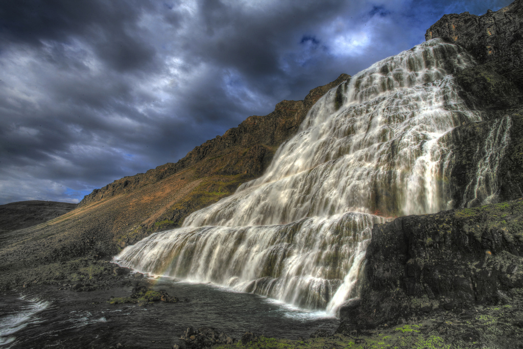
Dynjandi / Thunderous by Sigurður Þ Sigurjónsson at Flickr
Vestfirðir (= Westfjords)
Vestfirðir, despite its name, is not a part of West Iceland. It’s simply Vestfirðir, a place so Vestfirðir-y that it keeps its own name when people talk of directions here. The Vestfirðir peninsula is best known for horrible winter driving conditions, unusually shaped fjords and mountains, Látrabjarg puffin cliffs and some really amazing hiking trails! Vestfirðir is also known as one of Iceland’s most beautiful areas.
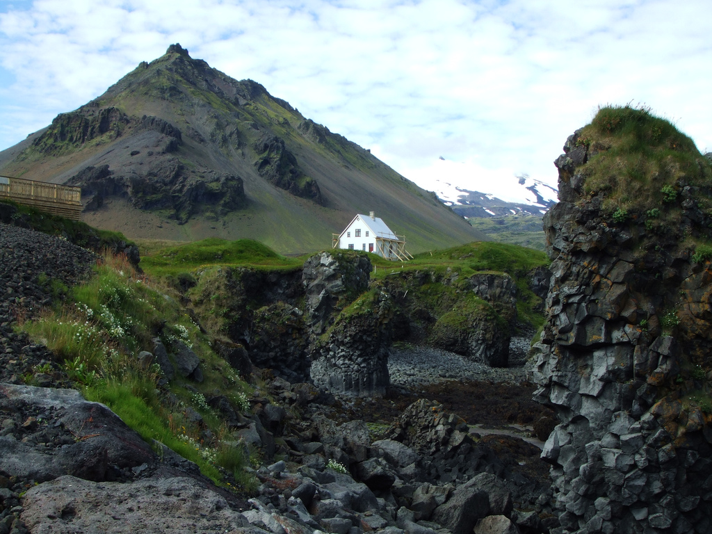
Snæfellsnes by Francois Marier at Flickr.
Vesturland (= West land)
Let’s not let Vestfirðir hog all the space though, because right below it in the Vesturland area is f.ex. Snæfellsnes. The peninsula is called “Iceland in miniature” for the amazing variety of scenery you see here and there’s also a nature park, the most beautiful glacier of all Iceland and some excellent museums sprinkled around the coastline. If you only have a few days in Iceland, go see Snæfellsnes. It’s not far from Reykjavík and due to its relatively small size you can experience it in 1-2 days (although there’s so much to see there that it’s easy to spend even more time there).
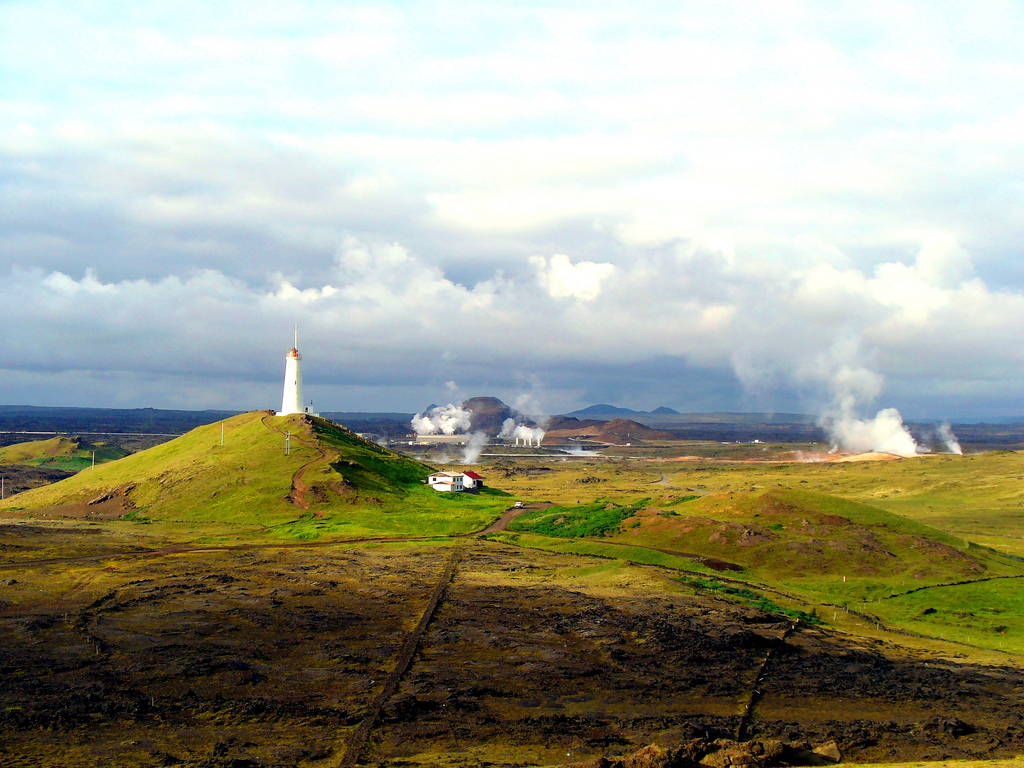
Reykjanes by Richard Gould at Flickr.
Reykjanes (= Smoky peninsula) (also known as Southwest Iceland but typically only called Reykjanes)
The Capital City area that includes Keflavík airport and possibly some scenery you may feel you’ve seen before… Reykjanes is often used as a movie background due to its alien landscapes that could as well be from the moon so if you experience any déjà vu there may be an easy explanation to it.
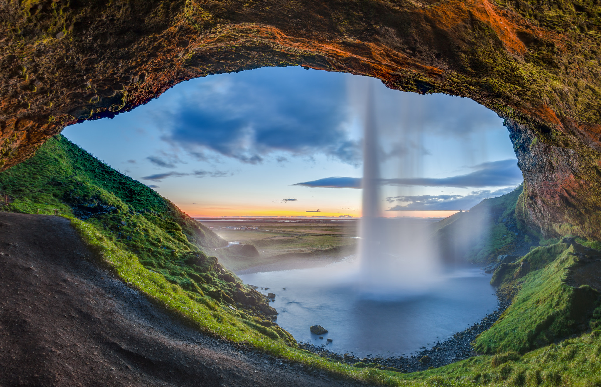
Seljalandsfoss, Suðurland, Islandia by Diego Delso at Flickr.
Suðurland (= South land)
Possibly the greenest part of Iceland that includes lots of geothermal activity. This is a typical area for Icelanders’ summer houses although not as popular by tourists outside of the Golden Circle, Þingvellir, Gullfoss and Geysir. Eyjafjallajökull is at the south-most tip of this area, likewise the famous volcanoes Hekla and Katla are in the Suðurland area.
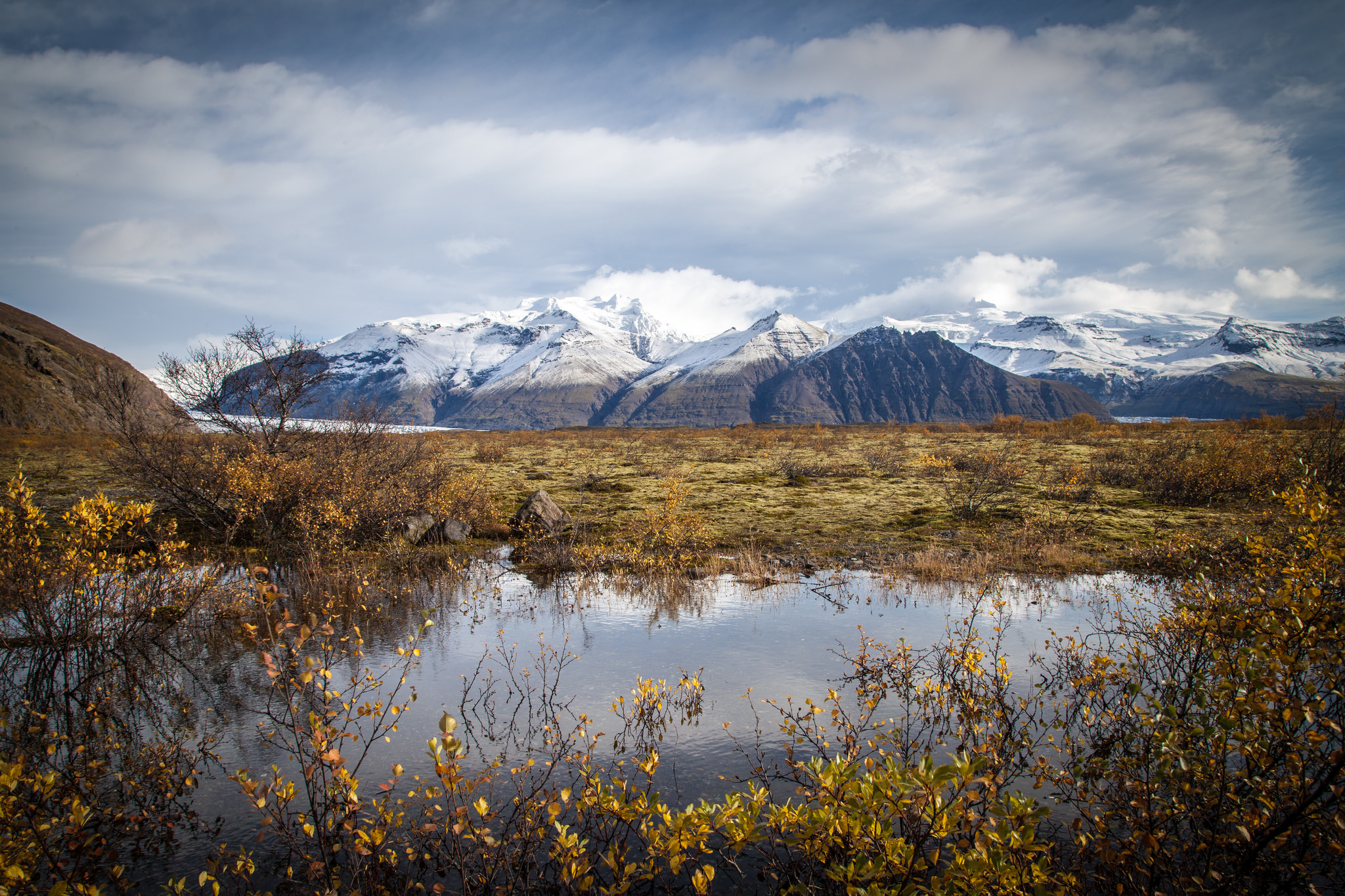
Vatnajökull by Andrés Nieto Porras at Flickr.
Suðausturland (= Southeast land)
Right next to the green, fertile Suðurland area sits its polar opposite Suðausturland. Once you’re driven past the town of Vík you’ve only various kinds of wasteland to look forward to for hours. Moss-covered lava fields give way to rock and sand and eventually to the huge meltwater plain underneath Vatnajökull. All the bridges here have only one lane, according to a friend of mine that’s because it’s cheaper to rebuild them after each glacier flood. She may have been joking though. Maybe.
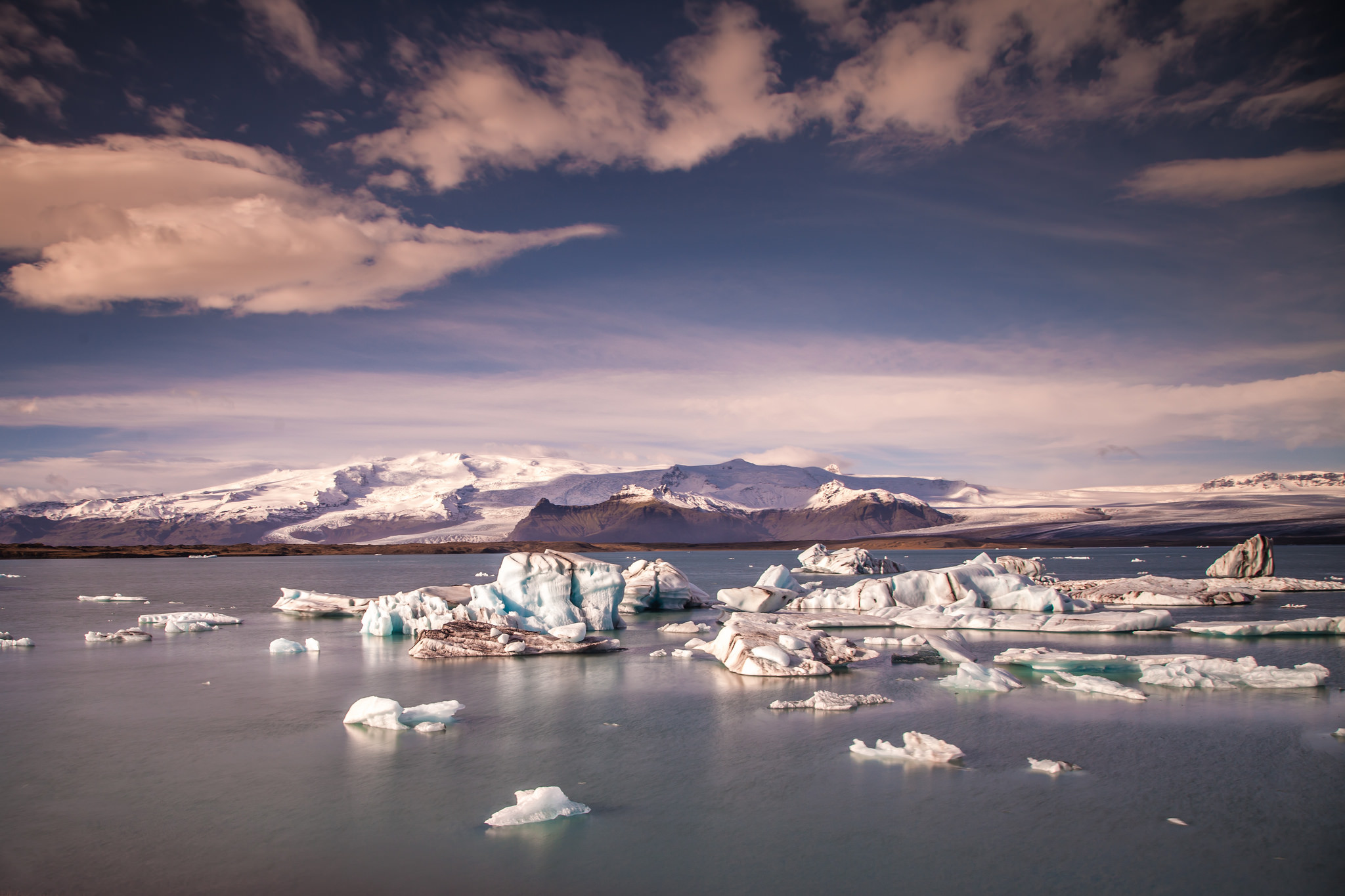
Jökulsárlón by Andrés Nieto Porras at Flickr.
Austurland (= East land)
The plains and wastelands slowly give way to more green, and eventually a lot of it. We’re in Austurland, the area where you’d land if you traveled to Iceland by ferry via Faroe Islands. This is the home of Iceland’s only real forest (the others are tiny patches of trees, but this one not only has tree-sized trees, it has lots of them). The glacier lagoon Jökulsárlón is also here.
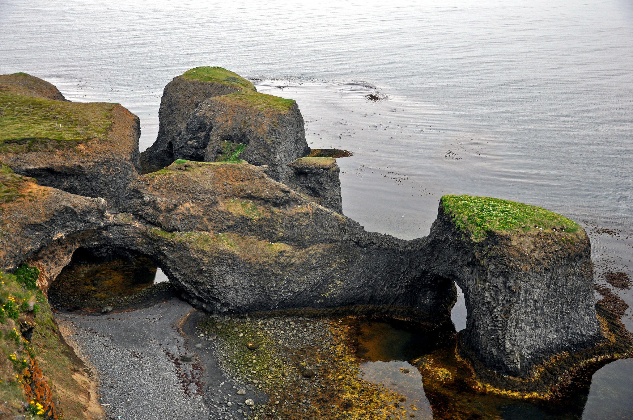
Rauðanes point by Jennifer Boyer at Flickr.
Norðausturland (= Northeast land)
Home to some of Iceland’s most amazing natural wonders such as the massive waterfall Dettifoss, Rauðanes point and the Mývatnssvæði, Mývatn area, and one of the main whale watching areas, Norðausturland is nevertheless sadly far away from Reykjanes and thus often forgotten from travel plans. However, if you happen to have the time for it it’s well worth the trouble!
Myvatn by genevieveromier at Flickr.
Norðurland (= North land)
This is where Iceland’s other “Capital City” is located! At the bottom of Eyjafjörður sits Akureyri, a beautiful, cozy little town that’s apparently rife with elf activity. By the way, since the borders between these areas are always that clear both Norðausturland and Norðurland claim the Mývatnssvæði as their own. 😀
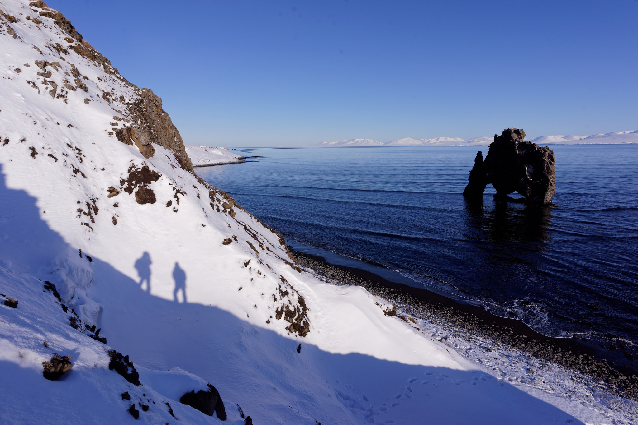
Hvítserkur by Vincent Guth at Flickr.
Norðvesturland (= Northwest land)
A good place for seeing some Medieval saga locations! The famous Grettislaug is here to name one example, and naturally there’s no end to small museums of various kinds in this area. For sights I could recommend Hvítserkur (= white skirt), a huge rock formation that sticks out from the sea at Húnafjörður. Be sure to go on a jeep though, the road turns into dirt road very soon and the last time I was there I really wished for a better car.
Vatnajökulsþjóðgarður Nation Park, Iceland by Veronique at Flickr.
Hálendið (= The Highlands)
The centre of Iceland is mostly uninhabited and for a good reason: there’s very little there that could sustain human population and the weather can be merciless. That’s not saying there’s nothing to see however, there are amazing hiking trails and landscapes that’ll take your breath away. Remember to be well prepared and well dressed though, else the Highlands is very capable of taking your breath away in a permanent way!
Vocabulary:
Norður = north
Vestur = west
Suður = south
Austur = east
Norðvestur = northwest
Norðaustur = northeast
Suðvestur = southwest
Suðaustur = southeast
Áttaviti = compass, lit. transl. “directions-knowing”

Build vocabulary, practice pronunciation, and more with Transparent Language Online. Available anytime, anywhere, on any device.

About the Author: hulda
Hi, I'm Hulda, originally Finnish but now living in the suburbs of Reykjavík. I'm here to help you in any way I can if you're considering learning Icelandic. Nice to meet you!
Comments:
Þórir PP Hólmfríðarson:
Hæ Hulda. Ég var bara að kíkja aftur á þetta gegnum línkanum sem var í nýjustu blogginu þínu, þegar ég tók eftir þessu hérna:
“Suðausturland (= Southwest land)”
Eins og þú getur séð, þá ættir ‘Suðaustur’ vera þýtt sem ‘Southeast’, en er hins vegar þýtt sem ‘Southwest’. Þetta truflar kannski ekki mig né aðra sem skilja íslenska nafnið, en það gæti verið dálítið truflandi fyrir enskumælandi fólk.
hulda:
@Þórir PP Hólmfríðarson Úúúúúbs… takk fyrir, búin að laga þetta! 🙂
(The above comment is notifying me of a mistake in the post which has now been fixed, thought to mention so no one gets confused.)